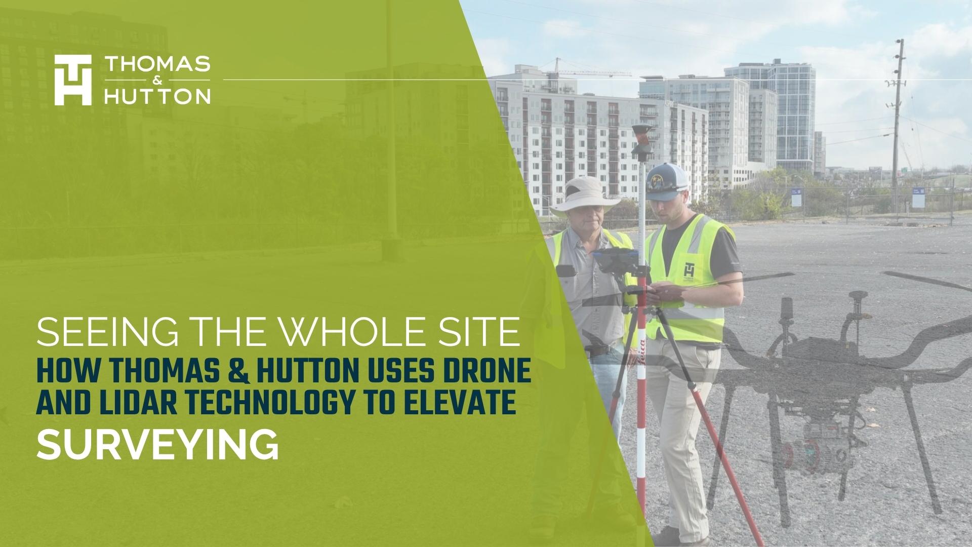
13 Apr Seeing the Whole Site: How Thomas & Hutton Uses Drone and LiDAR Technology to Elevate Surveying
Surveying has always been about seeing the land clearly, understanding its features, constraints, and possibilities before the first line is drawn on a plan. At Thomas & Hutton (T&H), that perspective has expanded over the past decade through the integration of drone and LiDAR technology into the firm’s surveying workflows.
What began as an experiment with aerial imagery has grown into a sophisticated reality capture program that helps project teams gather faster, more accurate data and deliver better insights to clients.
From First Flight to Full Reality Capture
T&H’s Reality Capture program began in 2012 with the purchase of the firm’s first drone. At the time, the technology offered something simple but powerful: a new vantage point.
Aerial imagery allowed teams to see sites in ways that traditional plans or ground photos could not. Patterns in terrain, drainage, and site conditions became clearer when viewed from above, helping surveyors and engineers understand projects more holistically.
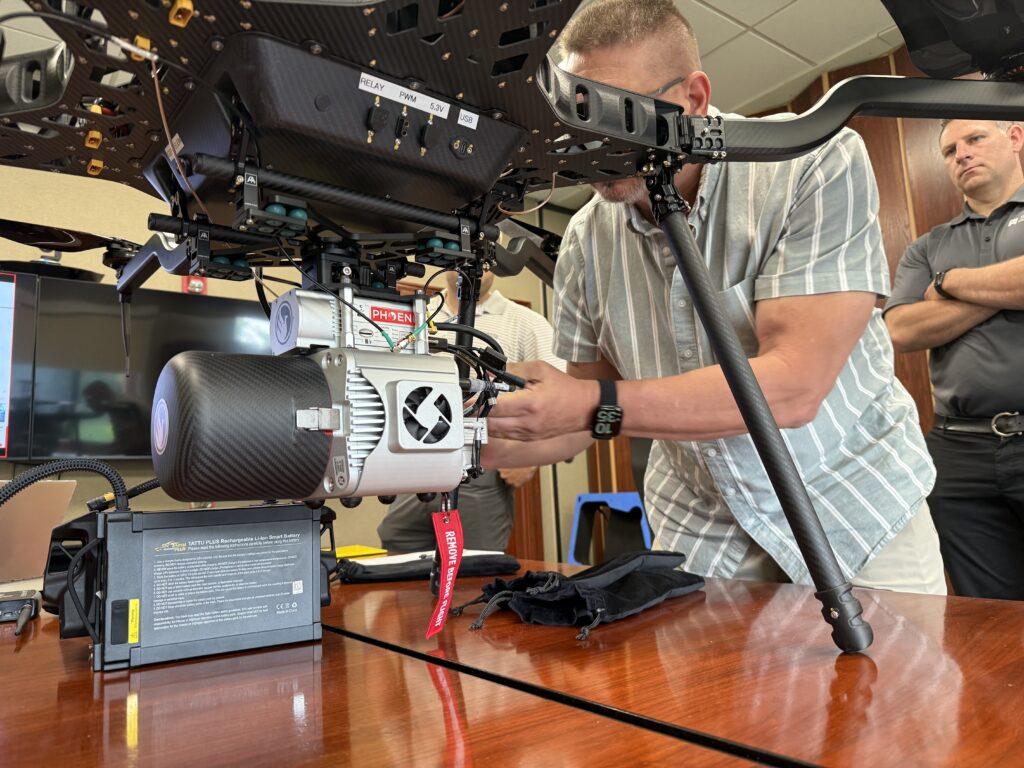
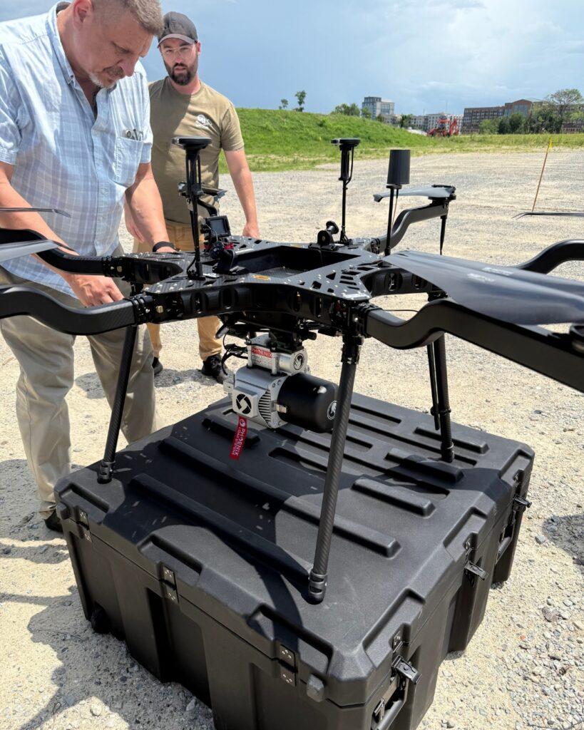
As drone technology advanced, so did the program. What started with imagery and video has evolved into a robust data collection platform that now includes high-resolution photogrammetry and LiDAR scanning, giving teams the ability to capture detailed three-dimensional information about a site.
Capturing More Data in Less Time
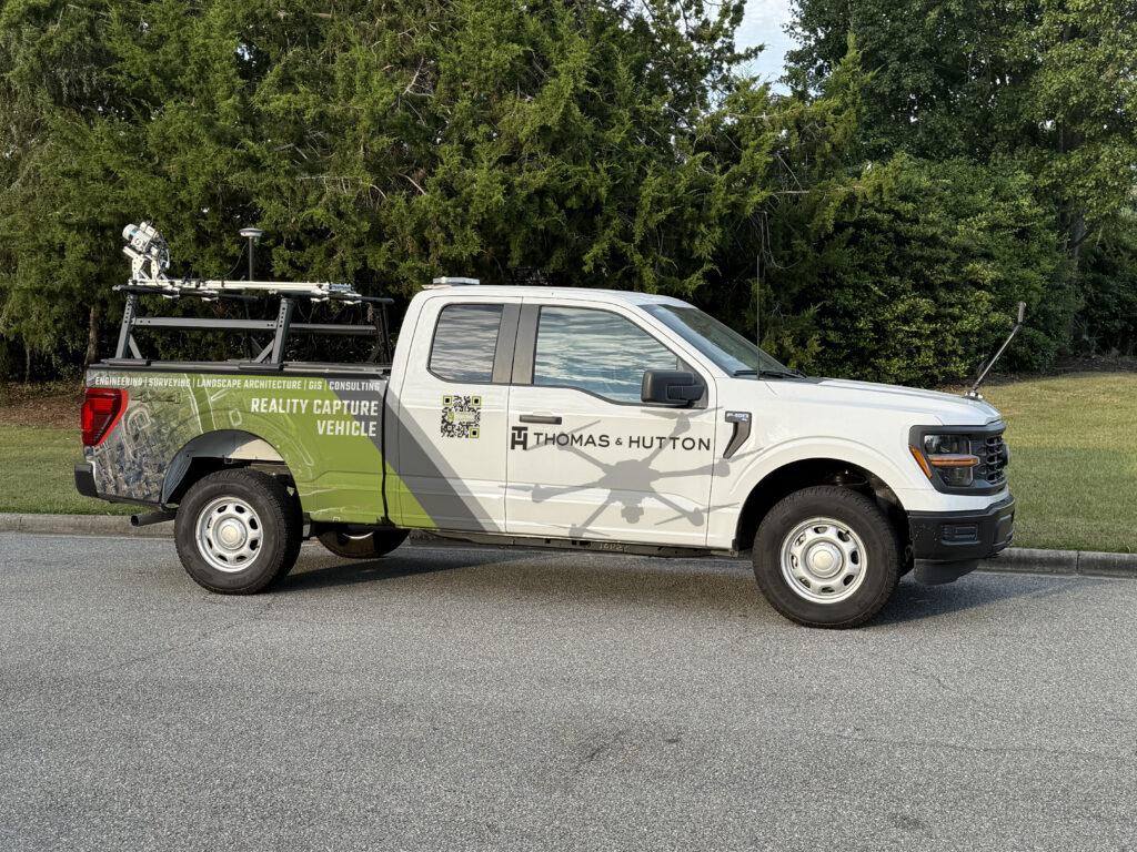
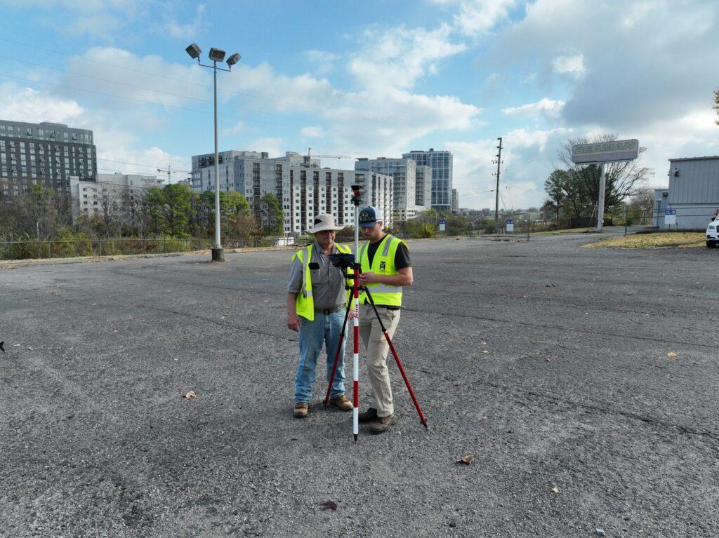
Today, T&H integrates UAV (Unmanned Aerial Vehicle) and mobile LiDAR workflows directly into its surveying operations.
For many projects, this approach significantly improves efficiency in the field. Tasks that once required multiple site visits or days of data collection can often be completed in hours. A single drone flight can capture thousands of data points across a property, creating highly detailed models that surveyors and engineers can analyze back in the office.
“The LiDAR program plays an important role in supporting our survey team by enhancing our overall workflow. It creates new opportunities for our employees while allowing us to deliver faster, more accurate data to our clients. It’s not about replacing traditional survey methods. It’s about complementing them, especially across large areas where efficiency and coverage matter most.” — Brad Lariscy, PLS, Survey and Drone Program Manager, Thomas & Hutton (Savannah)
LiDAR technology adds another layer of precision. By using laser scanning to measure distances and surfaces, it captures dense point-cloud data that reveals subtle variations in elevation, vegetation, and terrain that might otherwise be difficult to measure.
“You can think of it as the difference between a single point in a 5-by-5 grid and hundreds of points within that same space. The result is a much more accurate representation of the ground.” — matthew svejkovsky, Survey Manager (Myrtle Beach)
“Drones also give us the ability to safely capture data in areas that are difficult or hazardous for field crews to access, which adds another layer of value for both our team and our clients.” — Brad Lariscy, Survey and Drone Program Manager, Thomas & Hutton (Savannah)
Combined with the expertise of T&H’s surveyors, these tools help produce accurate topographic models and site data that support the entire design process.
Better Information for Better Decisions
The goal of incorporating drone and LiDAR technology is not simply speed. It is insight.
High-resolution aerial data allows project teams to identify patterns, risks, and opportunities earlier in the design process. Engineers gain a clearer understanding of site conditions before design begins, helping reduce uncertainty and improve coordination across disciplines.
“With drones and LiDAR, we’re able to reduce return visits, collect richer data, and replace guesswork with a much higher level of certainty.” — Dustin O’Brien, Staff Surveyor (Myrtle Beach)

For clients, this translates into fewer surprises, more reliable data upfront, and a smoother path from survey to design to construction. With fewer return trips to the field and more complete information at the start, projects can move forward with greater certainty and efficiency.
Technology Paired with Expertise
While drone and LiDAR technology continue to evolve, T&H’s approach remains grounded in the fundamentals of surveying.
These tools are most effective when paired with experienced professionals who understand how to interpret and apply the data. Technology enhances the work, but it is the expertise of the survey team that ensures the information is accurate, actionable, and aligned with project needs.
Even with advanced tools, field knowledge remains essential.
“Boots on the ground will always be needed for certain conditions, but this technology allows us to be more efficient, reduce repeat visits, and focus our time where it matters most.”— Matt Svejkovsky, Survey Manager (Myrtle Beach)
Looking Ahead
As UAV and LiDAR technologies continue to advance, their role in surveying and site analysis will only grow. Improvements in sensors, processing tools, and data visualization are making it possible to capture more detailed information and analyze it more efficiently than ever before.
“As reality capture continues to evolve alongside advancements in AI, we’re going to see more efficient data management and extraction, especially during post-processing. That will allow us to work smarter and deliver even greater value to our clients.” — Brad Lariscy, Survey and Drone Program Manager, Thomas & Hutton (Savannah)
For T&H the future of surveying will continue to blend traditional expertise with emerging technologies, creating smarter workflows and stronger outcomes for clients.
Have a site where early insight could make a difference? Learn how Thomas & Hutton’s reality capture approach can support your next project. https://www.thomasandhutton.com/land-surveying/